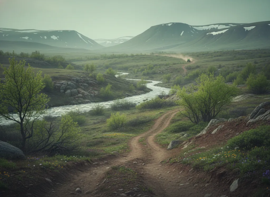
The Bighorn National Forest encompasses 1.1 million acres of the Bighorn Mountains in Sheridan, Big Horn, Johnson, and Washakie counties in north-central Wyoming: the isolated mountain range rising 8,000 feet above the surrounding Bighorn Basin and Powder River Basin, providing the most dramatic topographic transition in Wyoming outside the Greater Yellowstone Ecosystem. The Bighorn Mountains are geologically ancient (Precambrian granite and gneiss at the core, mantled by Paleozoic marine sediments on the flanks), and the Bighorn Plateau at the top of the range sits between 9,000 and 13,000 feet, supporting the alpine tundra and subalpine park country that gives high-altitude Bighorn riding its distinctive open-sky character. The OHV trail system covers designated routes across the Bighorn's multiple ranger districts: the Tongue Ranger District (Sheridan area, US-14 access), the Powder River Ranger District (Buffalo area, US-16 access), and the Medicine Wheel Ranger District (Lovell area, US-14A access near the Medicine Wheel National Historic Landmark). The US-14 Bighorn Scenic Byway and US-16 Cloud Peak Skyway provide paved access to the plateau, and designated OHV trails radiate into the surrounding forest from trailheads along both corridors. The Cloud Peak Wilderness at the summit of the range closes the highest terrain to motorized use; the OHV network operates on the forested flanks and plateau margins outside the wilderness boundary. ATVs, UTVs, and dirt bikes on designated routes. Sheridan Ranger District (307-674-2600) manages northern district trail status.
Hours
Accessible approximately June through October; Bighorn Plateau routes close under snow. No day-use fee. Wyoming OHV registration required.
Phone
307-674-2600Trip openings, seasonal updates, and the occasional deal, straight to your inbox.
FAQ
Everything you need to know before you get started.
Have a question, or ready to book? Reach out and we’ll get right back to you.